Robert Grasett Park
Urban Plaza, middle of the pack overall (score 36, rank ~59th percentile). Strongest: edge activation; weakest: natural comfort.
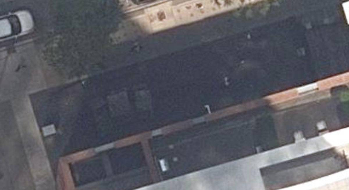
Aerial, City of Toronto orthophoto, ~8 cm/px source · cached 5/9/2026
Robert Grasett Park scores 36 / 100. Strongest dimensions: enclosure / eyes on park and connectivity. Weakest: amenity diversity (0). Border-vacuum risk is low. This score is a transparent reading of Jane Jacobs-style vitality factors, not a definitive judgment.
Area · 0.01 ha
Weighted across six dimensions · confidence 56%
Scores are not bell-curved. Percentiles and expected scores provide context without changing the underlying model.
Loading map…
The parks map is loading.Explain this score
Where did the 36 come from? Each weighted contribution against a neutral 50 baseline. Green = pushed up; red = pulled down.
Sum of contributions = the headline score. A negative bar means that dimension dragged the park below the city-wide neutral baseline.
Why this park works
Robert Grasett Park works because its edge activation score (25) is above average and its enclosure (73) is also above-average.
What limits this park
Robert Grasett Park is held back by natural comfort (24, bottom quartile): only 0% canopy means little summer shade.
Most distinctive characteristic
Most distinctive feature: exceptionally low natural comfort (24, bottom quartile).
Jacobs reading
Robert Grasett Park sits between an urban social park and an ecological retreat: moderately useful for both, exceptionally suited to neither.
Tradeoffs
- Connectivity (51) significantly outpaces natural comfort (24): well placed in the city but offers little shade or ecological respite.
- The park is enclosed by buildings (73) but the surrounding streets are quiet (edge activation 25): frame without animation.
- 22 nearby towers cast wind and shadow without contributing canopy: passive surveillance is plentiful but human-scale comfort is not.
Typology classification
Classified as Urban Plaza: 130 m², paved (0% canopy), 66.0 buildings/100 m
Edge Activation
Within 100 m of the park edge: 11 active uses (restaurant, retail) and 5 dead/hostile uses (parking_lot). Active edges keep "eyes on the park" through the day; parking lots, blank institutional walls, rail and highway frontages drain street life.
Source: OSM POIs (amenity/shop) + Toronto Building Footprints + land use
Connectivity
Connectivity blends paths, intersections, transit, entrances, and edge density. This park has 0 mapped paths/walkways and 8 sidewalk segments within 50 m; 9 street intersections within 100 m; 15 transit stops within a 400 m walk; 0 estimated access points across ~54 m of perimeter. edge density is healthy, no superblock penalty. Source coverage: centreline, pedestrian_network, transit_osm.
Source: Toronto Centreline V2 + Pedestrian Network + OSM transit stops
Amenity Diversity
No amenities recorded. Score is 0 until inventory is loaded.
Source: Toronto Parks & Recreation Facilities + OSM amenity tags
Natural Comfort
Natural-comfort components for this park: 0.0% estimated tree canopy; nearest waterbody ~993 m. Reading: exposed. Source coverage: waterbodies. Impervious surface is approximated (Toronto's authoritative layer ships only as a raster GeoTIFF).
Source: Toronto Treed Area + Ravine + Waterbodies + Street Tree Inventory
Enclosure / Eyes on Park
66 buildings within 25 m of the park edge (31 mid-rise, 13 low-rise, 22 tower); avg edge height 58.3 m (~19 floors); 66.0 buildings per 100 m of 54 m perimeter (strong frontage density); edges dominated by towers; 22 towers ≥ 40 m within 25 m of the edge. "Eyes on the park" come strongest from the 31 mid-rise edge buildings.
Source: Toronto 3D Massing (building footprints + heights)
Border Vacuum Risk
Border-vacuum factors within 50 m of the park: parking_lot. Jacobs warned that highways, rail, parking lots and blank institutional edges act as "vacuums" that suppress foot traffic and isolate the park from its neighbourhood.
Source: Toronto Street Centreline (highways) + rail layer + OSM landuse + building footprints
Equity Context
Equity Context requires inputs not yet loaded for this park (Toronto Neighbourhood Profiles). Score is held at a neutral 50 with low confidence. Read with caution.
Source: Toronto Neighbourhood Profiles
Amenities (0)
No amenities recorded for this park.
Nearby active-edge features (80)
- restaurant: Montecito13 m
- restaurant: Pita Pit40 m
- restaurant: Ravi Soup43 m
- parking lot46 m
- restaurant: FiGO56 m
- restaurant: The Fox & Fiddle58 m
- retail: Vape Nest61 m
- restaurant: Burgers N Fries Forever61 m
- parking lot62 m
- parking lot64 m
- parking lot69 m
- retail: Active Green + Ross69 m
- restaurant: Hooters70 m
- restaurant: Sweet Jesus72 m
- parking lot74 m
- restaurant: Pizzaiolo98 m
- restaurant: Town Crier Pub The Halfway Beer House101 m
- restaurant: Saint+Johns Tavern101 m
- restaurant: The Office Pub103 m
- retail: Quik Mart103 m
- cafe: Columbus Café & Co105 m
- restaurant: Melrose on Adelaide105 m
- restaurant: Carver110 m
- cafe: Dark Horse Espresso Bar111 m
- restaurant: Parlour117 m
- restaurant: Burger King117 m
- retail: tiff Shop120 m
- restaurant: Mirvish Parking120 m
- restaurant: King Street Social Kitchen Bar121 m
- retail: Merit Travel121 m
- restaurant: Runway 06121 m
- retail: Nero Gentlemen's Grooming Club121 m
- restaurant: New York Fries124 m
- retail: Wonderland125 m
- retail: Kwik Kopy Design and Print Centre126 m
- restaurant: Pizza Pizza128 m
- retail: Independent CityMarket128 m
- retail: Four Seasons Fur129 m
- restaurant: O&B Canteen131 m
- parking lot: Fire Personnel Parking Only132 m
- transit stop: John Street133 m
- retail: New York Fur134 m
- cafe: Timothy's134 m
- restaurant: Bar 404136 m
- retail: No Frills137 m
- retail: Michaels137 m
- parking lot138 m
- restaurant: Vivid139 m
- restaurant: La Fenice144 m
- restaurant: Gabby's145 m
- retail: Jack Astor’s Bar and Grill146 m
- cafe: Starbucks147 m
- restaurant: Rock N' Horse148 m
- retail: Zupa's Restaurant & Deli149 m
- retail: King Fresh Foodmarket149 m
- cafe: Starbucks149 m
- restaurant: District149 m
- transit stop: Blue Jays Way150 m
- restaurant: N'Awlins151 m
- restaurant: Hey Lucy's Wood Oven Pizza151 m
- restaurant: Kinoya152 m
- restaurant: Kit Kat Italian Bar & Grill152 m
- restaurant: Parcae153 m
- cafe: Pigeon Café & Bar153 m
- transit stop: Peter Street156 m
- cafe: Second Cup157 m
- restaurant: Pancho y Emiliano158 m
- restaurant: Tahini's158 m
- parking lot161 m
- retail: The BLUMZ161 m
- restaurant: The Ballroom165 m
- parking lot: Fire Personnel Parking Only165 m
- retail: Tiee Express167 m
- restaurant: Hot dog stand169 m
- restaurant: Fat Bastard Burrito169 m
- restaurant: Fusaro's Italian Kitchen171 m
- restaurant: Urawa172 m
- retail: INS Market175 m
- restaurant: Abrielle177 m
- restaurant: Aroma Fine Indian Cuisine180 m
Park profile
Five-axis radar across the structural dimensions.
Citywide percentile ranks
Across all Toronto parks in the dataset.
- Overall vitality59th
- Edge activation80th
- Connectivity57th
- Amenity diversity53th
- Natural comfort2th
- Enclosure74th
Most similar parks
Closest in metric space across the five structural dimensions.
- Leonard Linton ParkUrban Plaza36
- Public Access PropertyUrban Plaza37
- Duncan C. Little ParkUrban Plaza37
- City Wide Open SpaceParkette32
- Jean Augustine ParkParkette38
Most opposite parks
Furthest in metric space. Useful for recognising what kind of park this isn’t.
- Trca Lands ( 26)Ravine / Naturalized Park27
- Rouge ParkRavine / Naturalized Park28
- Toronto Islands - Muggs Island ParkRavine / Naturalized Park25
- Rouge ParkRavine / Naturalized Park26
- Rouge ParkWaterfront Park25
Human activity signals: not available
No activity signals have landed for this park yet. The model has scored its physical form but it can’t yet say how often it’s programmed, photographed, or walked through. See /data-ethics for what we will and will not collect.
Does this score feel accurate?
Your read of Robert Grasett Parkmatters. We’re testing whether the model lines up with how people actually use the park. Submissions are stored locally; no account needed.
Tell us how this park feels
We measure structure (canopy, edges, connectivity). You measure feeling. Both matter, and disagreement is itself useful civic data.
What would improve this park?
Generated from the weakest measured dimensions: a starting point, not a prescription.
- Activate the edges: encourage cafés, retail or community uses on the streets that face the park; replace blank or parking-lot edges where possible.
- Diversify what people can do in the park (playground, washroom, water, shade, performance, sport, garden): even small additions raise this score.
- Increase canopy and reduce paved area. Shade and water features extend usable hours and seasons.
Data sources
- City of Toronto Open Data: Parks (Green Space)Polygon boundaries, official names, types.
- Parks & Recreation FacilitiesInventory of in-park amenities (washrooms, fields, rinks…).
- Toronto Pedestrian NetworkSidewalk segments around and through parks; estimated park entrances.
- Toronto Centreline V2Street segments + intersection nodes near park edges; trails and walkways.
- Toronto 3D MassingBuilding footprints + heights for edge-building counts, frontage density, and tower-in-the-park risk.
- Toronto Treed AreaTree canopy share inside park polygons via stratified-grid sampling.
- Toronto Waterbodies & RiversWater surface inside parks + nearest-water distance for cooling.
- Ravine & Natural Feature ProtectionRavine overlap as a cooling / natural-comfort signal.
- Toronto Street Tree InventoryTree count + density inside park polygons.
- Neighbourhood Profiles(Pending) Equity context proxy.
- OpenStreetMap (Overpass API)Cafés, restaurants, retail, transit stops, parking, highways, rail.